Please select your home edition
Edition
A+T Instruments 2024 Leaderboard

C-MAP named distribution partner by the International Centre for Electronic Navigational Charts

by C-MAP 20 Mar 10:16 PDT
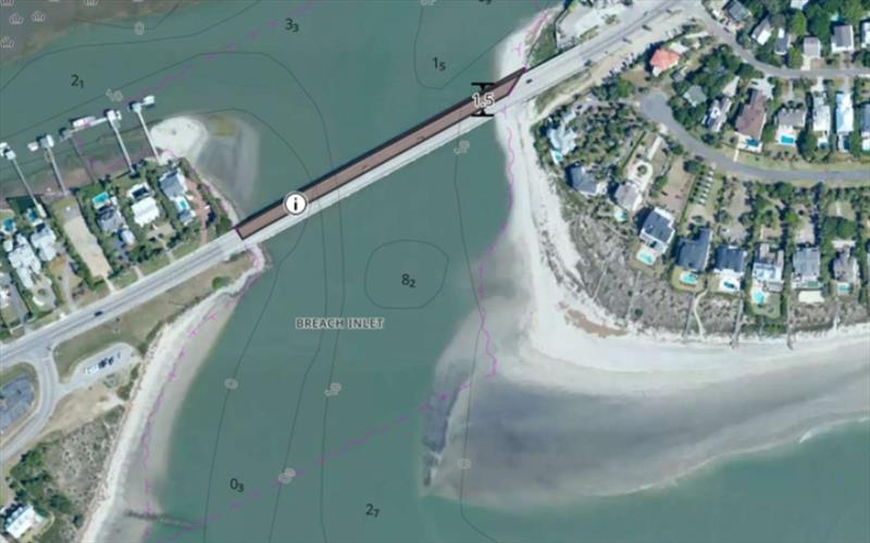
Satellite imagery © C-MAP

C-MAP®, a leader in digital marine cartography and cloud-based mapping, today announced its new status as a Distribution Partner for the International Centre for Electronic Navigational Charts (IC-ENC).

"We are pleased to share that we have been granted the status of Distribution Partner by IC-ENC," said Max Cecchini, Director of C-MAP. "This agreement marks a milestone for C-MAP, as we will now broaden our access to a variety of data to enhance our charting. We are committed to offering our users the most up-to-date information to ensure greater efficiency and safety on the water, and this partnership will help us continue to do that."

As a Distribution Partner, C-MAP has been appointed by the IC-ENC to deliver comprehensive end-user services. This includes processing of ENC Data for inclusion into C-MAP's proprietary data format to support safe navigation using systems other than Electronic Chart Display and Information Systems. C-MAP will now have access to hydrographic data from several additional countries, to be integrated into C-MAP's charting products.

"We are thrilled that C-MAP has become our latest high profile Distribution Partner. This partnership between C-MAP and IC-ENC will further contribute to the advancement of marine navigation," said Tom McIlwaine, IC-ENC Assistant Distribution Manager.

IC-ENC is the largest regional ENC coordinating center (RENC) globally, representing over half of the world's hydrographic offices. As a member-led organization, IC-ENC provides cost-effective services to ensure maritime data products comply with international standards and uphold the International Convention for the Safety of Life at Sea (SOLAS). They also work to ensure that their Members' ENCs are consistent across the global dataset and readily available for use via approved service providers.

For more information about C-MAP, visit c-map.com.

Related Articles

C-MAP app now with crowd-sourced Genesis layer
As well as across Lowrance®, B&G® and Simrad® apps powered by C-MAP charts C-MAP®, a leader in digital marine cartography and cloud-based mapping, has made its crowd-sourced mapping data called “Genesis” available on the C-MAP navigation app this month, as well as across Lowrance®, B&G® and Simrad® apps powered by C-MAP charts. Posted on 23 Jun 2022
Latest update for popular C-MAP navigation app
The updates provide even more features to one of the most highly rated marine navigation apps C-MAP®, a leader in digital marine cartography and cloud-based mapping, launched a range of key updates for free and premium subscribers of its C-MAP app this month, for both iOS and Android. Posted on 17 Feb 2022
C-MAP App introduces enhanced chart quality
Latest version of app for boaters, anglers, sailors and water-lovers unveiled C-MAP®, a leader in digital marine cartography and cloud-based mapping, unveiled its latest app for boaters, anglers, sailors and water-lovers alike this week including a Premium version loaded with new mapping features Posted on 10 Jun 2021
C-Map® new charts introduce global shaded relief
New Discover™ and Reveal™ replaces, simplifies Max-N+ range C-MAP, a leader in digital marine cartography and cloud-based mapping, has today launched a re-designed, simplified charting portfolio for Lowrance®, Simrad® and B&G® chartplotter with the introduction of C-MAP Discover and Reveal. Posted on 8 Mar 2021
New HDS Live C-MAP Contour+ Preloaded Chart
New release includes 1-Foot Contours on 15,000+ U.S. Lakes and 9,400 Canadian Lakes C-MAP®, a leader in digital marine cartography and cloud-based mapping, announced today the next generation of C-MAP Contour+ charts preloaded in HDS LIVE fishfinder/chartplotters. Posted on 2 Feb 2021
C-MAP South Carolina Precision Contour HD Chart
1-foot contours and custom depth shading helps anglers find fishing areas with ease C-MAP®, a leader in digital marine cartography and cloud-based mapping, announced today the release of the latest in its series of digital fishing map cards, Precision Contour HD - South Carolina. Posted on 12 Nov 2020
C-MAP rebrands flagship Nautical Navigation App
Bringing it further in line with the brand's portfolio of charting products C-MAP, a leader in digital marine cartography and cloud-based mapping, has renamed and enhanced its Embark App to the C-MAP: Boating App, bringing it further in line with the brand's portfolio of charting products, services and identity. Posted on 7 Sep 2020
C-MAP announces launch of new website
Featuring rich content covering the entire C-MAP range C-MAP, a leader in digital marine cartography and cloud-based mapping, announced today the launch of the new C-MAP website catered to recreational boaters. Posted on 18 Jun 2020
C-MAP launches Web Map Tiling Service (WMTS)
C-MAP WMTS allows companies to build their own map-aware applications C-MAP, a leader in digital marine cartography and cloud-based mapping, announced today the launch of the C-MAP Web Maps Tiling Service (C-MAP WMTS) for developers. Posted on 8 Jan 2020
C-Map releases NC Precision Contour HD Chart
Find North Carolina fishing areas faster with 1ft contours C-MAP®, a leader in digital marine cartography and cloud-based mapping, announced today the release of a new chart card in its series of digital fishing map cards, Precision Contour HD - North Carolina. Posted on 12 Jul 2019
Selden 2020 - FOOTERMaritimo 2023 S600 FOOTERNorth Sails Loft 57 Podcast